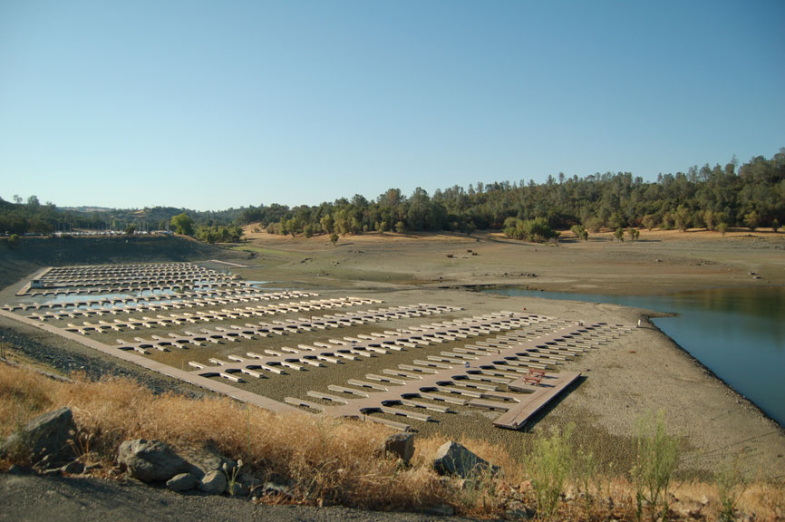
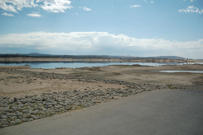
8/28/07 Marina Basin. Lake el. 401'
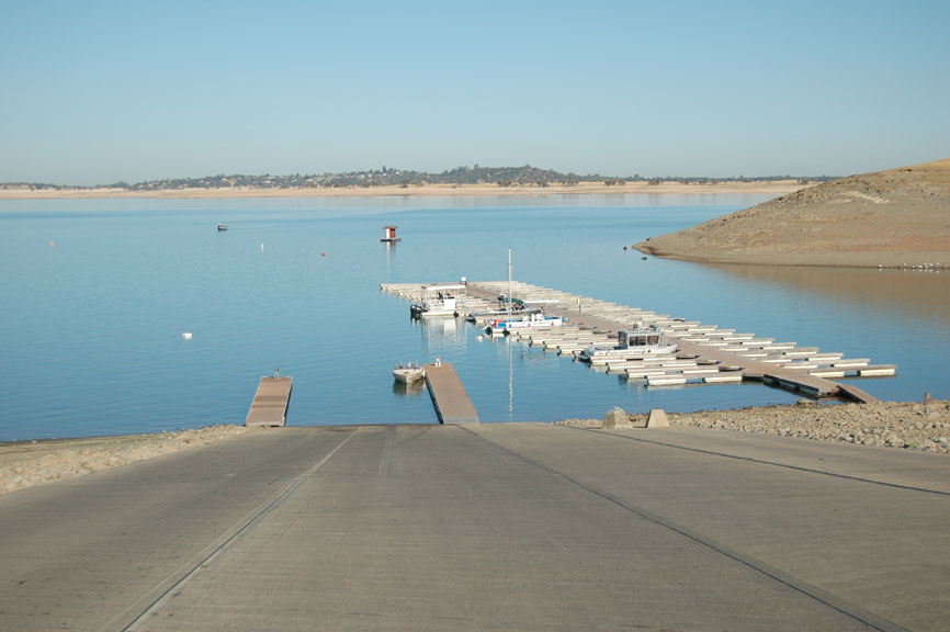
8/28/07 Hobie Cove Ramp - Lake el. 401'
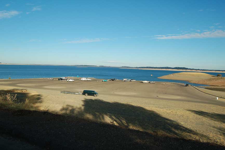
8/19/07 Hobie Cove Parking at Ramp - Lake el. 405.5'
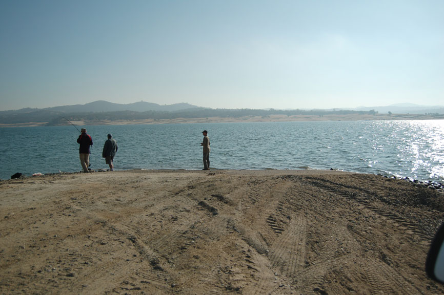
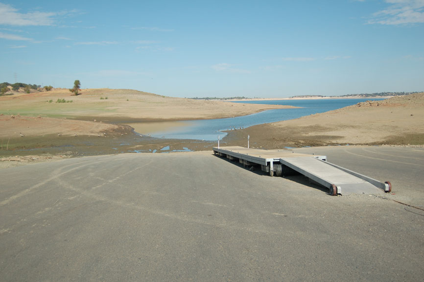
Granite Bay Launching Ramp - Lake el. 395'
Low Water Ramp is now open
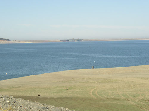
North Fork looking from Granite Bay -
8/31/07 Lake el. 400'
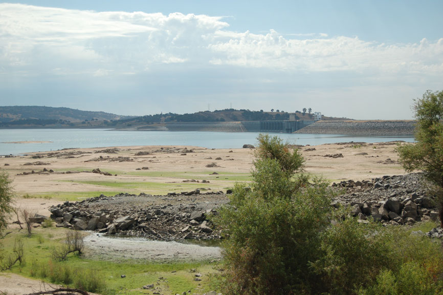
8/31/07 Beal's Point looking toward Folsom Dam -
Lake el. 400'
8/31/07 Folsom Point Ramp - Lake el. 400'
Closed
8/30/04 Folsom Dam. Lake el. 401.5'
Looking from Brown's Ravine picnic area
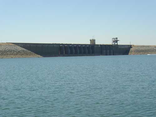
Folsom Dam was completed in 1956'
When full it hold 43.9 billion cubic feet of water
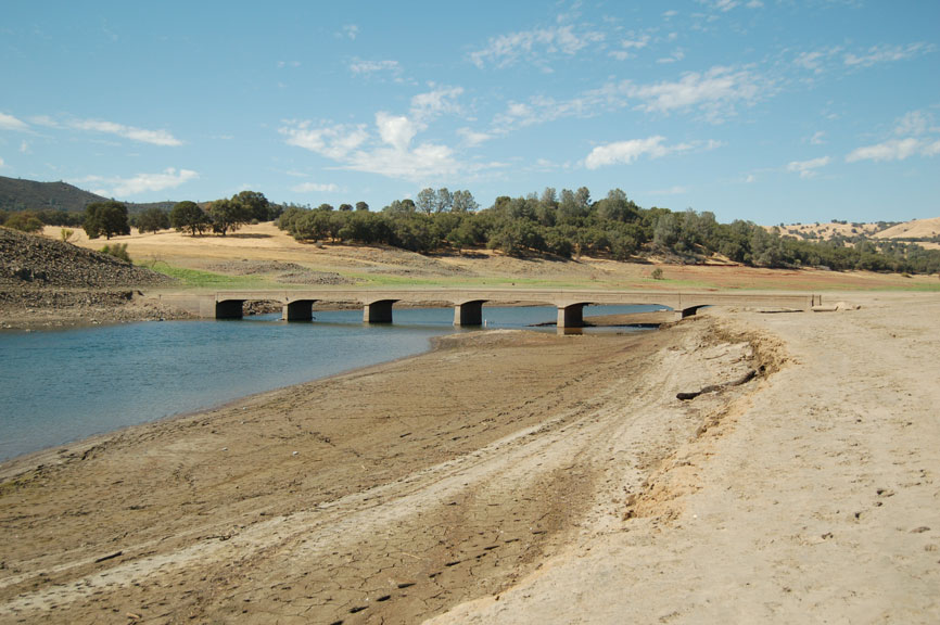
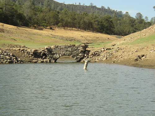
Old Salmon Falls Bridge - Lake el. 400'
The bridge is up the south fork and in use
until Folsom Dam was built in the 1950s
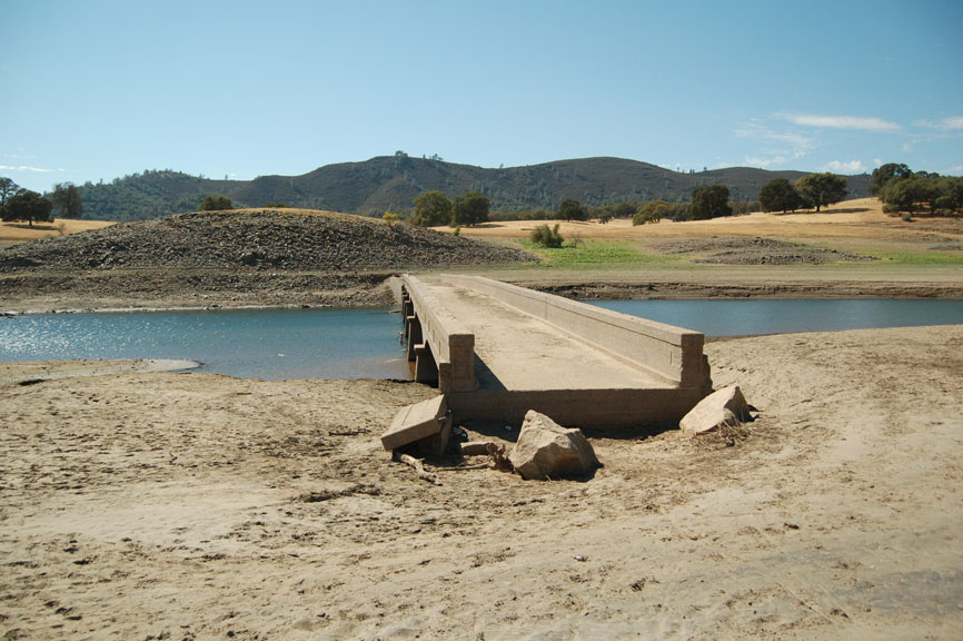
Old Salmon Falls Bridge - Lake el. 400'
The bridge goes completely under water at
elevation 415'.
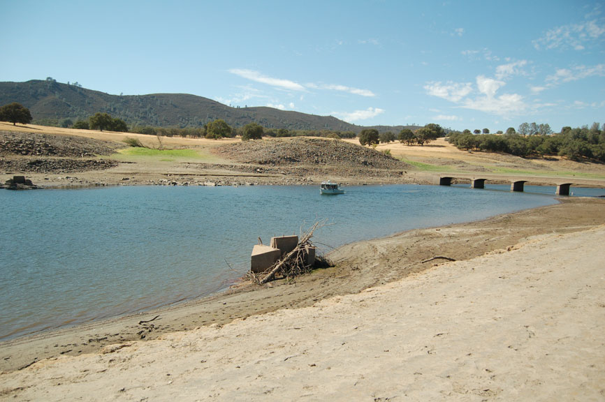
Old Salmon Falls Bridge
The cement piles you see coming out of the water
down stream of the bridge was part of the foot bridge
that was also used to cross the south fork.
Handcock Creek
The bridge is on the north side of the south fork
located at Handcock creek. There was a canal on
each side of the river that brought water to the miners
and to the town of Morman Island.